
Nautical Charts & Passage Plan
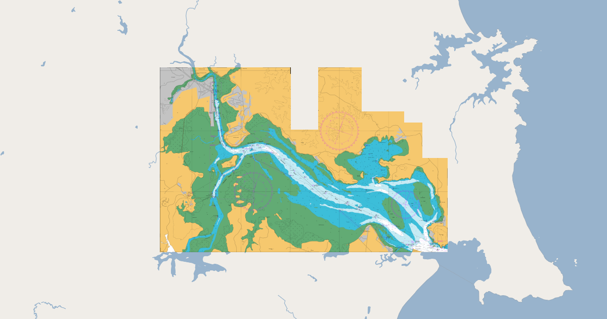
Whangarei Harbour
Chart nz 5215
THIS DATA DOES NOT REPLACE NAUTICAL CHARTS AND MUST NOT BE USED FOR NAVIGATION.
The hydrographic raster data made available through the LINZ Data Service is based on the Paper Navigational Charts published and maintained by the New Zealand Hydrographic Authority at Land information New Zealand (LINZ)
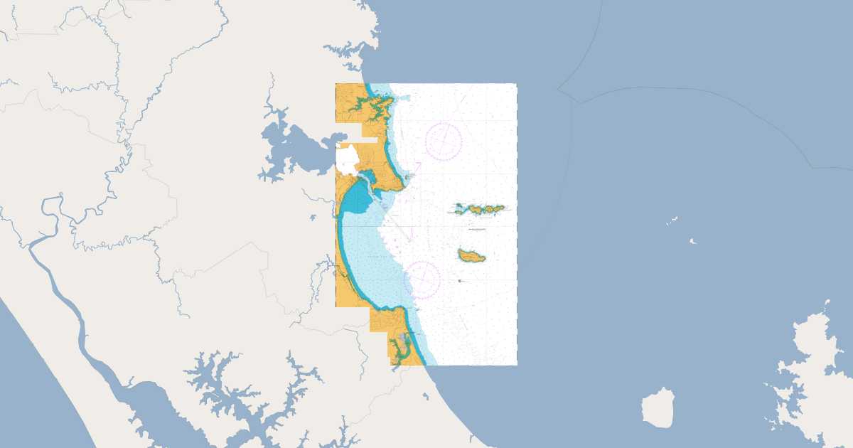
Approaches to Marsden
Chart nz 5219
THIS DATA DOES NOT REPLACE NAUTICAL CHARTS AND MUST NOT BE USED FOR NAVIGATION.
The hydrographic raster data made available through the LINZ Data Service is based on the Paper Navigational Charts published and maintained by the New Zealand Hydrographic Authority at Land information New Zealand (LINZ)
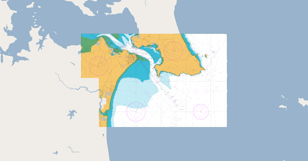
Marsden Point
Chart nz 5214
THIS DATA DOES NOT REPLACE NAUTICAL CHARTS AND MUST NOT BE USED FOR NAVIGATION.
The hydrographic raster data made available through the LINZ Data Service is based on the Paper Navigational Charts published and maintained by the New Zealand Hydrographic Authority at Land information New Zealand (LINZ)
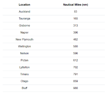
Distance to / from
Marsden point
Listed are the distances to all the New Zealand ports from Northport, Marsden Point.
All distances are in Nautical Miles (nm)
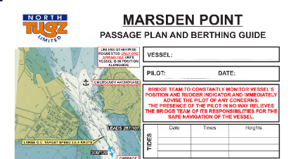
passage plan & berthing guide
Marsden point
Navigable through a completely buoyed and lit channel 5 nautical miles long leading from the Fairway Buoy to Marsden Point. The approach to Marsden Point has a shallowest depth of 14.7m at chart datum between the Fairway Buoy and No 1 buoy.
passage plan & berthing guide
Marsden point
Navigable through a completely buoyed and lit channel 5 nautical miles long leading from the Fairway Buoy to Marsden Point. The approach to Marsden Point has a shallowest depth of 14.7m at chart datum between the Fairway Buoy and No 1 buoy.